One of the first things we did when we arrived on the island, after we got our rental car, was located a shop with a map of the island. One particular map that we found had specific marking for hikes throughout the island. We had already heard of and researched the cross island track, but there were a few others listed that we thought we might want to try out since we were also about a month away from a two week long hiking trip in western Canada. After taking a closer look at the map, we decided on starting our first morning on the island with the Raemaru mountain trail since it looked like the smallest of the trails and was close to the Arorangi area that we were staying in.
Click Here To read about Rarotonga’s famous Cross Island Trek
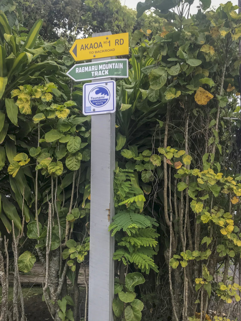


Since the chickens woke us up early, we decided to head out to do our “mini hike” before relaxing and snorkeling at the beach. We let Elise’s brother Will know where we were headed without knowing exactly where this place was, but felt confident and got in the car and headed out. This mountain seemed to be well marked with signage directing us where to go, that is, until we actually reached the entrance. There didn’t appear to be an actual parking area, but lucky for us, there was another car parked in the vicinity, so after a few debates back and forth we decided to head into the the trail area where we were able to locate a map telling us that we were there….SUCCESS!


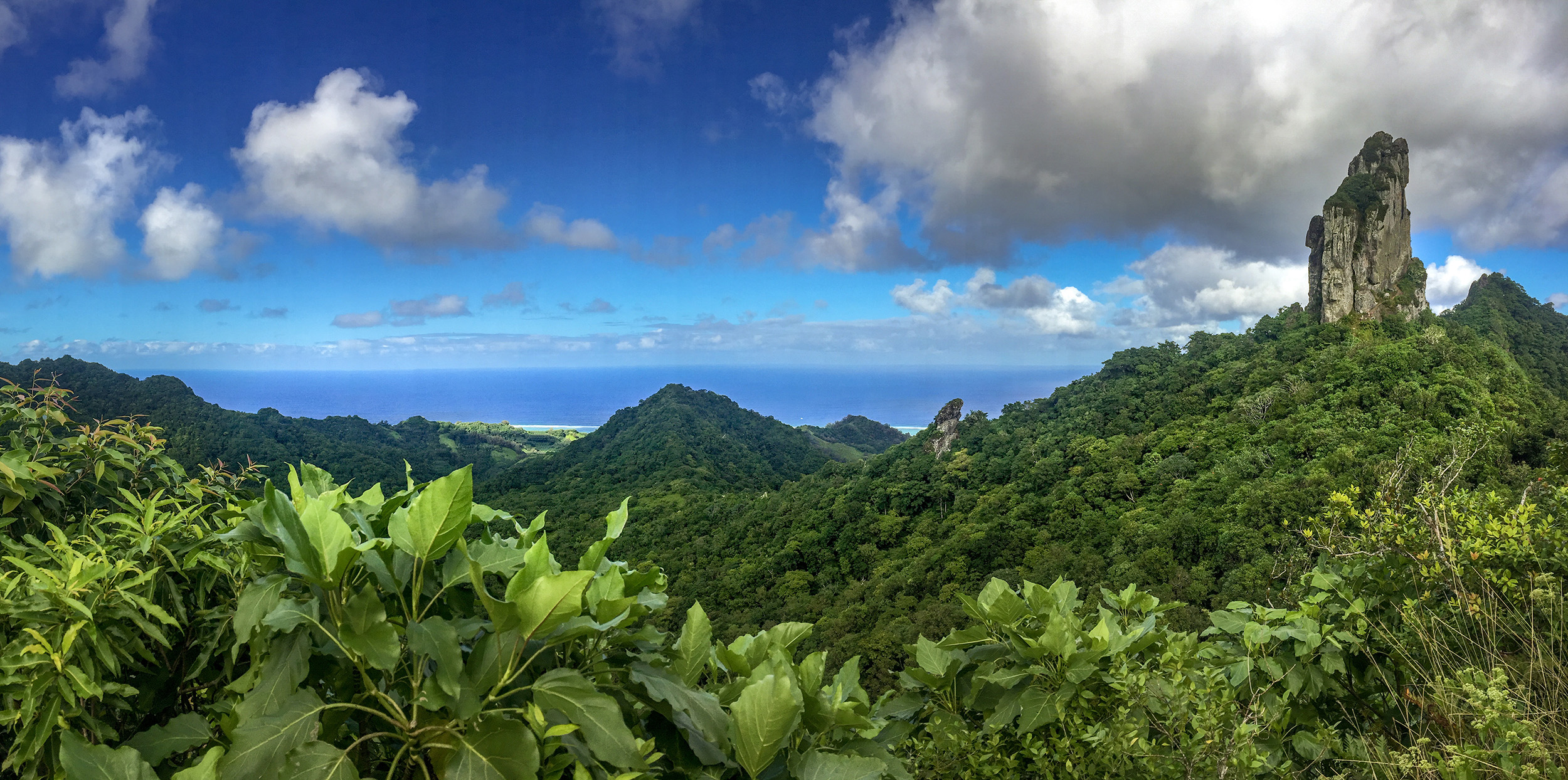
As we began our hike, we realized that The trail was pretty narrow and not well maintained, but flat enough that we could tell that we were in it. We decided to dedicate about two hours to hiking so we trekked in for about 45 minutes before we hit a point where the trail was no longer easily discernible and we turned back around. Up to that point, the trail offered vast flora and beautiful views of the island in the distance. We didn’t pass a single other person on this trail. It felt lovely to be secluded in nature for that brief period of time, but we weren’t sure that it was wise to continue on without anyone being exactly sure of our whereabouts.


Recommendations:
- Always tell someone your whereabouts. Not all trails are well marked and even the locals don’t know where they are if you stop to ask for directions.
- Raemaru mountain has very narrow trails with steep drop offs.


Side note:
Our map listed one other hike that looked like it went to Te Manga and Ikurangi according to our map. We also attempted to find this hike. A few loops around the island and a few wrong directions from locals later, we gave up and headed back to our airbnb. We did get as far as traveling out into the middle of the island on an unpaved road in a little rental car, but never found the entrance to the hike. If you go to or are in Rarotonga and you have had or will have the chance to do this one, we would love to hear about it!